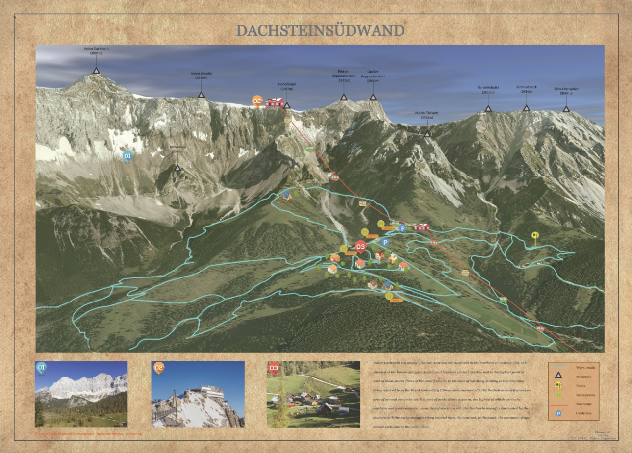
Dachstein Südwand Panoramic Map
Description
This panoramic map is made for tourists, hiking enthusiasts, skiing people and others to get a better overview of Dachsteinsüdwand.
The map highlights the roads, skylines, bus stops, houses, main peaks, and detail photos. All these features are the most of the landmarks of this area which could also help the user locate himself. The map contains the basic information of this area and a simple legend for the readability.
This work is done in the 2018 Alpine Cartography Field Trip. Most of the work is done in illustrator. The camera view base map is captured in Google Earth.
Click on the image for full version.
- October 2018